
California’s Highway 1—often called the Pacific Coast Highway along much of its length—is a working coastal road as much as a postcard. This TripCali planning guide focuses on pacing, safety, and responsible stops so your cliffside views do not come at the expense of local traffic flow or fragile shoreline habitat.
The corridor stretches roughly from Dana Point in Orange County north to Leggett in Mendocino County, linking beach towns, agricultural valleys, redwood edges, and the famous Big Sur escarpment. Sections close for slides, fires, and repairs; always verify live conditions before you treat any stretch as guaranteed.
How to plan Highway 1 without rushing it
The classic mistake is trying to “do the whole coast” in one heroic daylight push. Scenic average speeds are far below freeway expectations—especially through Big Sur—because of curves, cyclists, sightseeing traffic, and fog. Build the trip as stacked segments with overnight hubs:
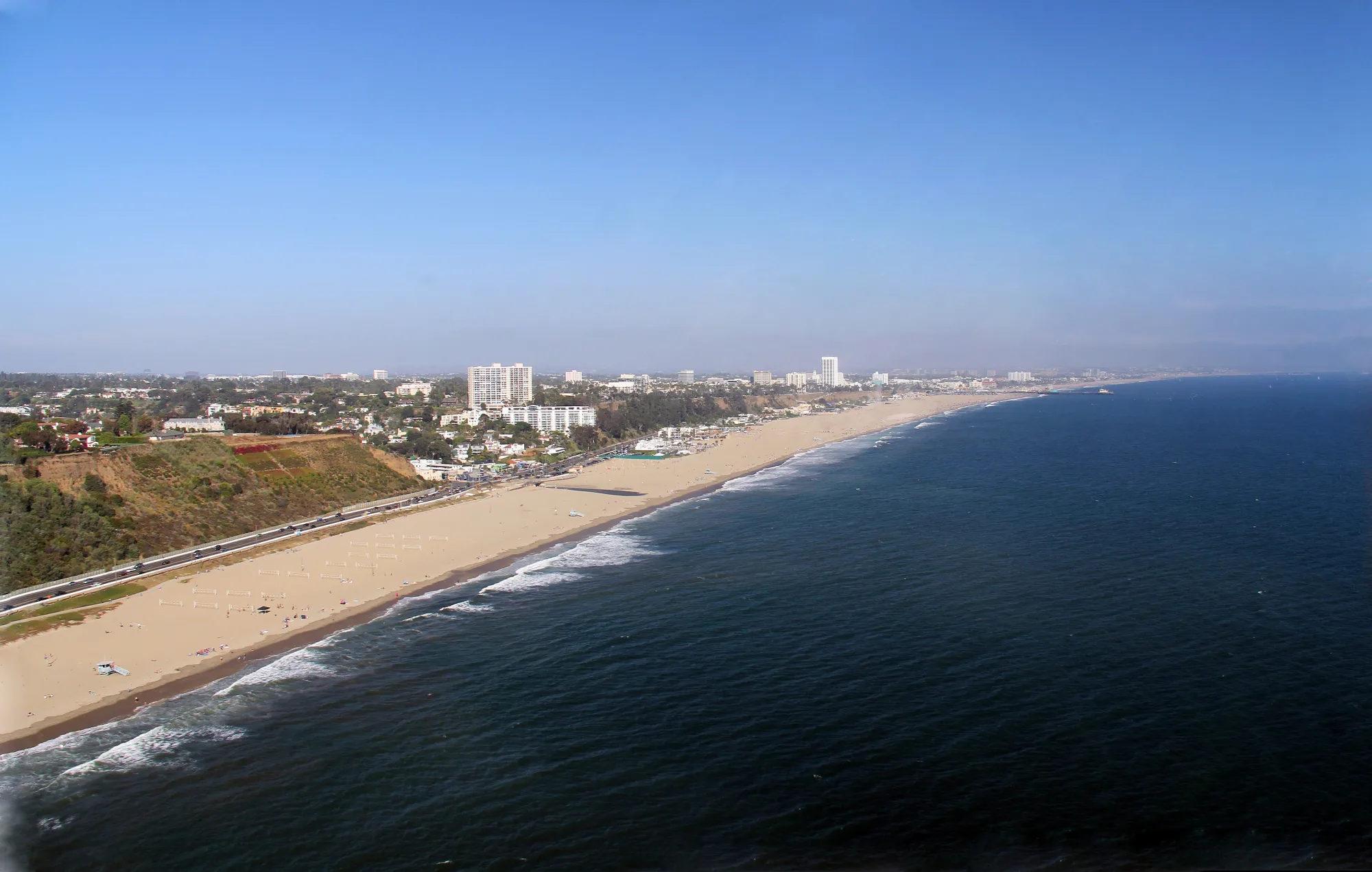
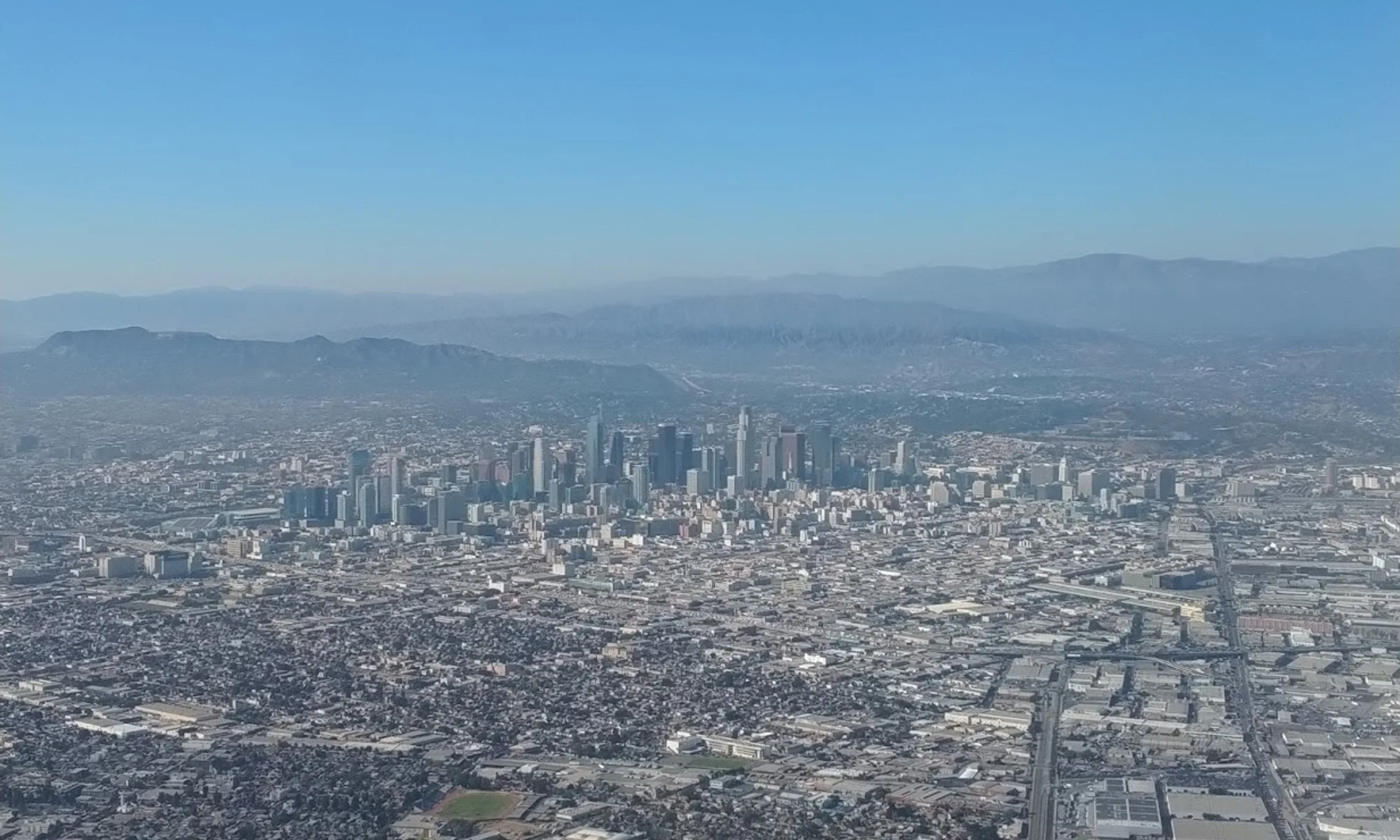
- Southern California coast: Orange County and Los Angeles County beach towns for easier warm-ups and frequent services.
- Central Coast: Santa Barbara, San Luis Obispo County, and Monterey Bay for wine, tidepools, and mid-length driving days.
- Big Sur and Monterey County: the dramatic core—protect extra time and backup inland routes.
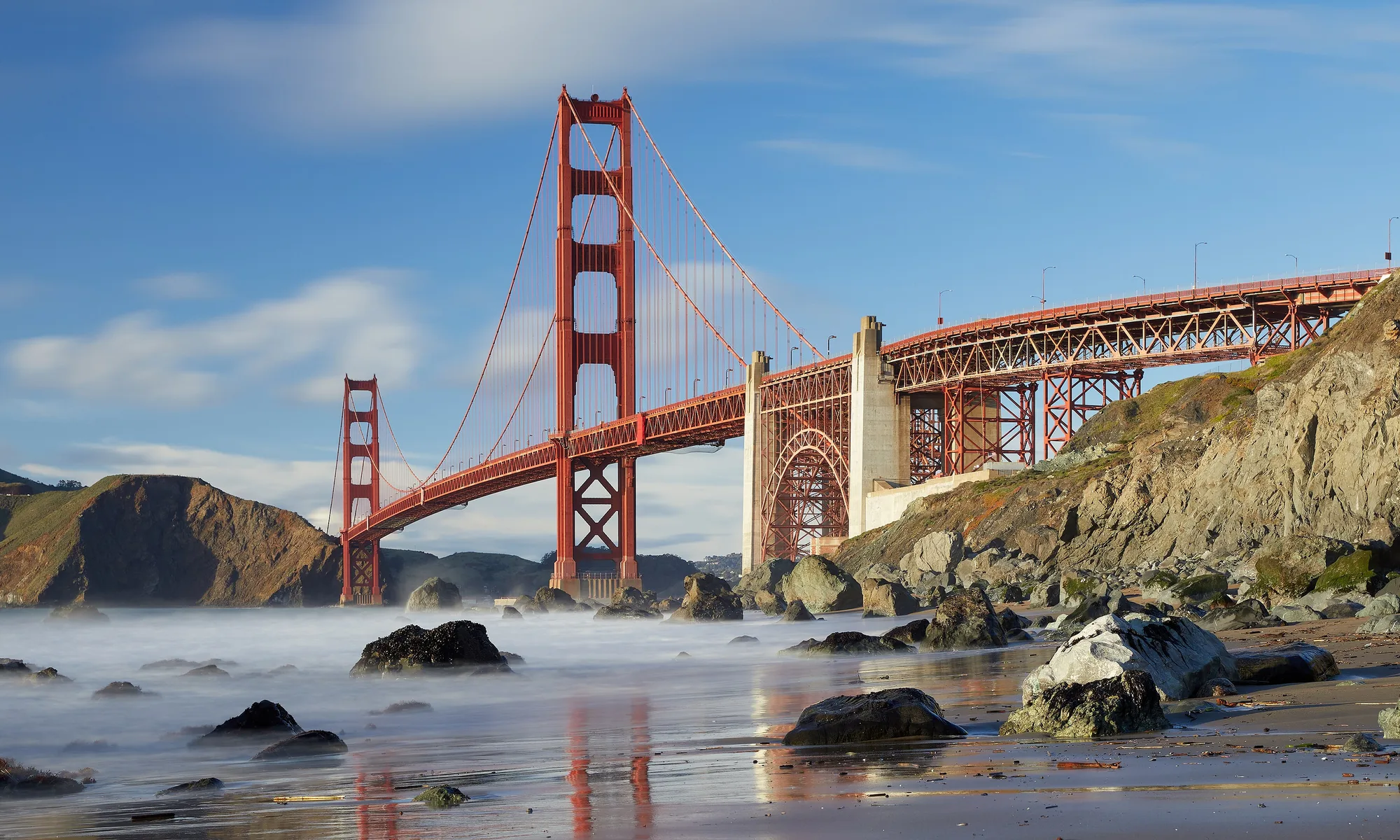
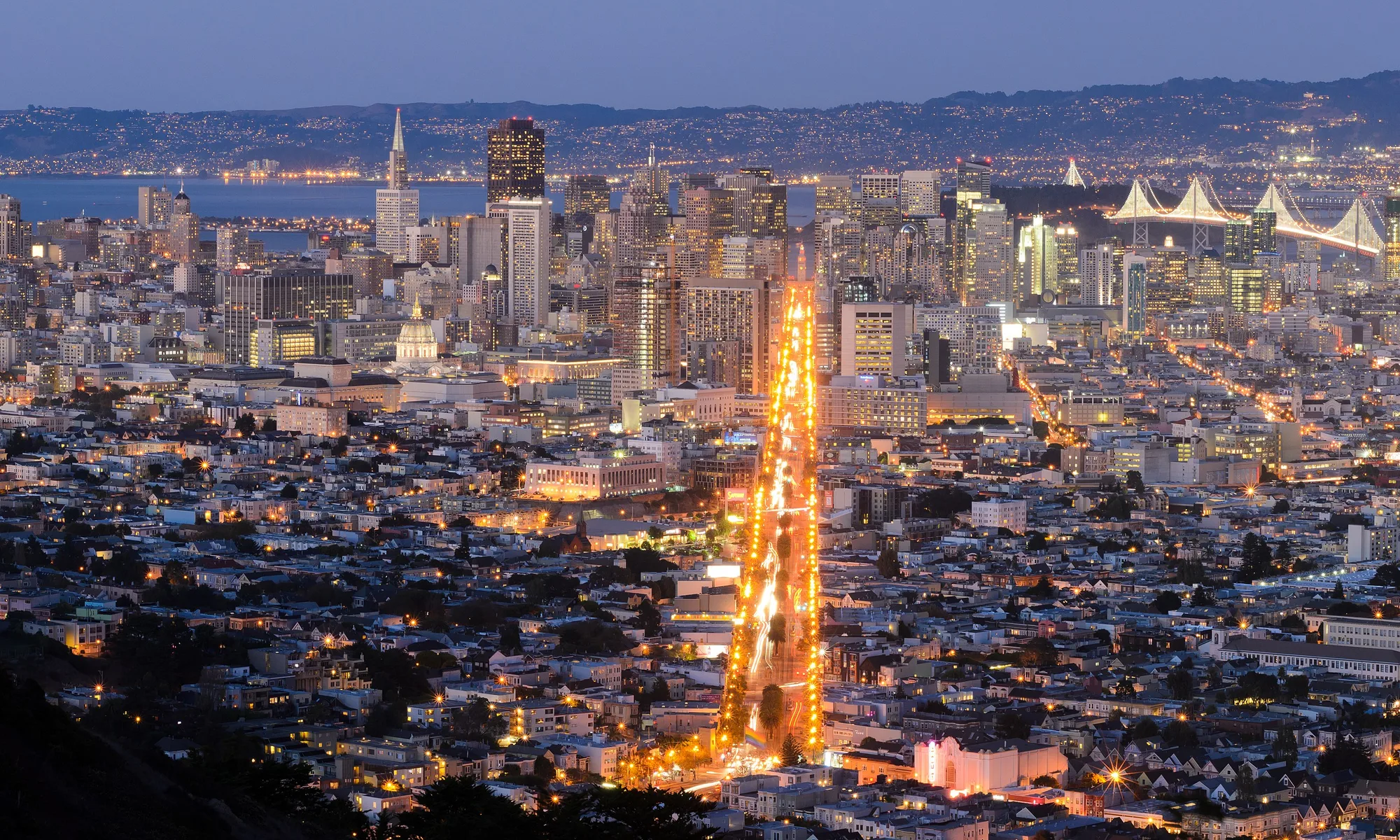
- San Francisco to North Coast: Marin headlands, Sonoma Coast, and Mendocino County for redwoods, lighthouse walks, and quieter shoulders.
Two to five nights is a realistic window for a satisfying Highway 1 story. Day-trippers should pick one segment only (for example, Monterey to Big Sur overlooks and back) rather than chasing Leggett from Los Angeles.
Best seasons and what each one costs you
Early fall (September–October) often brings clearer skies and slightly softer crowds in many beach towns—strong for photography and mellow overnight stays.
Early spring can deliver wildflowers along Central Coast hillsides, including California poppies in good bloom years, plus greener hills after rains.
Winter means fewer people and excellent whale-watching potential offshore (gray whales are commonly discussed December–April), but also storms, debris flows, and sudden closures.
Summer brings longer daylight and heavier tourism traffic; start early, reserve lodging ahead, and accept that popular pullouts will be busy by late morning.
Road conditions, closures, and inland backups
Before every driving day, check Caltrans QuickMap (and local county alerts) for lane reductions and full closures. Big Sur in particular can lose connectivity for extended periods after landslides. Know your inland alternatives—US-101 is the usual relief valve for many Central Coast gaps—so a closure becomes a reroute, not a ruined vacation.
Fuel earlier than you think you need to on remote stretches. Cell service drops in canyons and cliff zones; download offline maps and keep a paper sense of your next town with services.
Pullouts, vista points, and parking rules
Stop only in designated pullouts and signed public parking areas. Caltrans vista points exist specifically so you can take in views without blocking travel lanes. In the Big Sur area, examples include vista opportunities near parks such as Garrapata and Julia Pfeiffer Burns—still verify which lots and trails are open on your date.
Do not park on or near Bixby Bridge shoulders when prohibited; illegal parking creates dangerous bottlenecks and can earn tickets. If a lot is full, continue to the next legal stop rather than inventing a shoulder space on a blind curve.
Wildlife and coastal etiquette
Highway 1 is a front-row seat to otters, seabirds, seals, and seasonal whales—but the ecosystem is fragile. Stay on signed trails, skip collecting shells or flowers, and honor seasonal closures for nesting birds such as snowy plovers. Use binoculars or a zoom lens instead of scrambling toward animals. Pack out trash; cliff winds scatter litter fast.
Sneaker waves and unstable cliff edges are real hazards. Treat overlook fences and signed warnings as safety systems, not suggestions for better photos.
Driving technique for an enjoyable day
Let faster locals pass when safe. Use turnouts. Expect cyclists and motorcoach tours. Fog can erase visibility in minutes—headlights on, speed down, and delay photo stops until you have a legal, clear pullout. If anyone in the car is prone to motion sickness, seat them forward, keep snacks mild, and break the day into shorter legs with town pauses.
Link Highway 1 to the rest of your California trip
Combine coastal days with inland wine country, redwood parks, or city stops using TripCali places to visit, road trips, and things to do hubs. A Highway 1 segment paired with a single inland night often feels richer than more miles of the same cliff line.
TripCali publishes independent travel guidance. Highway conditions and park access change—confirm details with Caltrans and official land managers before you go.
People also ask
How do I check Highway 1 road conditions and closures?
Use Caltrans QuickMap and enable current road information layers before you depart each morning. Recheck if storms or construction are in the forecast, especially for Big Sur.
What is the best time of year to drive Highway 1?
Early fall and early spring are popular for milder crowds and good light. Winter can be dramatic but closure-prone; summer offers long days with heavier traffic.
Where should I stop for photos on Highway 1?
Use designated Caltrans vista points and signed park lots only. Never stop in travel lanes or on prohibited bridge shoulders such as restricted areas near Bixby Bridge.
How many days do I need for Highway 1?
One focused segment works as a day trip; two to five nights cover multiple regions more enjoyably. Full-coast marathons in a single day are stressful and often unsafe in fog or traffic.
Is Highway 1 the same as the Pacific Coast Highway?
In everyday travel talk, people often use the names interchangeably for California’s scenic coastal route. Official routing and local street names can vary by county—follow Highway 1 shields and verified maps.
Can I drive Highway 1 with kids or first-time California drivers?
Yes if you keep daily mileage modest, schedule frequent legal stops, and avoid night driving on cliff sections. Bring layers, snacks, and motion-sickness prep for curvy segments.
What should I do if Big Sur is closed?
Pivot to open Central Coast towns, Monterey Bay stops, or inland US-101 routing. Treat closures as a chance to deepen one region instead of forcing a blocked scenic stretch.
How can I view wildlife responsibly along Highway 1?
Stay on trails, obey nesting closures, keep distance from animals, and use pullouts rather than roadside scrambling. Take only photos and leave shells, flowers, and rocks where they are.
Photo: Wikimedia Commons