
Agoura Hills
Conejo Valley foothills where Santa Monica Mountains trailheads meet Malibu day trips—Paramount Ranch film history, canyon hikes, and Whizin Market Square dining minutes from the 101.
Interactive map loading… View on OpenStreetMap
34.1533, -118.7617 · OSM
- Type
- city
- Region
- Los Angeles County
- Season
- Best March, April, May
- Access
- Near BUR
About Agoura Hills
Conejo Valley foothills where Santa Monica Mountains trailheads meet Malibu day trips—Paramount Ranch film history, canyon hikes, and Whizin Market Square dining minutes from the 101.
Miles of oak woodland and ridgeline trails inside the national recreation area—watch for woodpeckers and seasonal wildflowers. Allow extra time for parking, reservations, and seasonal crowds typical of Los Angeles County destinations. Historic Western-town facades and rolling meadow trails—film history meets family hikes when access is open. Allow extra time for parking, reservations, and seasonal crowds typical of Los Angeles County destinations. Renovated 1960s center with taquerias, pastries, gelato, and live music at The Canyon. Allow extra time for parking, reservations, and seasonal crowds typical of Los Angeles County destinations. Guided horseback outings through ranch landscapes—beginner-friendly orientations before heading uphill. Allow extra time for parking, reservations, and seasonal crowds typical of Los Angeles County destinations.
Know before you go
- Heat: Exposed ridges run hotter than Malibu—start hikes early and carry extra water summer through fall.
- Wildlife: Coyotes and bobcats are common—leash dogs and secure food in vehicles.
- Film sets: Active shoots may close trail segments—obey ranger and crew instructions.
- Traffic: 101 congestion peaks at commute hours toward LA—pad Malibu dinner plans.
- Parking: Trailhead lots fill on clear weekends—have a backup hike in mind.
- Forecast: Use the live National Weather Service panel on this page before ridge outings.
- Reservations: Popular restaurants, tastings, and tours often require advance booking on weekends and holidays.
How to get to Agoura Hills
Agoura Hills straddles U.S. Highway 101 in western Los Angeles County, where the Conejo Valley meets the Santa Monica Mountains National Recreation Area. Hollywood Burbank (BUR) and Los Angeles International (LAX) are the usual airports—roughly 35–45 minutes in light traffic. Kanan Road and the 101 link Malibu beaches west while Cheeseboro Canyon trailheads sit inside city limits.
- Fly into BUR or LAX BUR shortens drives from the north valley; LAX offers more flight options with heavier cross-town traffic.
- Exit 101 at Agoura or Chesebro Trailheads and Whizin Market Square cluster near Chesebro Road exits—arrive early on spring weekends.
- Stage Malibu coast separately Pacific Coast Highway is a winding 20-minute hop west—budget time for PCH parking and sunset returns.
- Check wildfire and park alerts Santa Monica Mountains trails close after major fires or red-flag wind—verify NPS status before horseback or bike plans.
Plan your visit
Best months
March, April, May, October
Typically the most comfortable months for weather and crowds.
Nearest airport
Hollywood Burbank Airport (BUR)
About 37 minutes by car, depending on traffic.
Highlight
Santa Monica Mountains · Hiking · Los Angeles
Conejo Valley foothills where Santa Monica Mountains trailheads meet Malibu day trips—Paramount Ranch film history, canyon hikes, and Whizin Market Square dining minutes from the 101.
Plan one full day for a canyon hike, Whizin dining, and an optional Malibu beach sunset—or two nights when adding wine-country drives toward Malibu hills tasting rooms and Reyes Adobe history.
Outdoor rhythm: Cheeseboro/Palo Comado Canyon offers riparian oak walks and ridge views; Paramount Ranch trails pass Western-movie sets still used for filming. Cyclists train on mountain roads—rent road bikes locally if you are not hauling your own.
Evening rhythm: The Canyon club and Ladyface Brewery anchor Whizin Market Square nights—reserve tables on concert weekends.
Who it’s for: Hikers, cyclists, TV-production fans, and LA visitors who want mountain quiet without leaving the metro freeway grid.
Budget tips: National Park trailheads are often free; save splurges for gourmet deli picnics and gelato stops.
Practical pacing: Most visitors budget two full days for Agoura Hills—one for signature sights and one for a slower neighborhood or outdoor block without rushing between parking lots.
Regional context: Agoura Hills anchors Los Angeles County itineraries where santa monica mountains, hiking, los angeles, suburbs show up in everyday planning. Hollywood Burbank Airport (BUR) is the primary gateway listed here—budget roughly 37 minutes by road before traffic and stops.
Seasonal window: March, April, May, October often balance comfortable weather with event calendars—still pack layers because microclimates and elevation swings are common across California.
Who it suits: Road-trippers linking nearby towns, weekenders from major metros, and travelers who want a local base rather than only marquee attractions an hour away.
Agoura Hills: FAQ
What is Agoura Hills known for?
Santa Monica Mountains hiking, Paramount Ranch film heritage, and Conejo Valley dining near the 101.
What airport is closest to Agoura Hills?
BUR is often fastest from the valley side; LAX works with wider flight choices.
How far is Agoura Hills from Malibu?
About 15–20 minutes west on canyon roads when traffic is light.
Are there hikes in Agoura Hills?
Yes—Cheeseboro/Palo Comado and Paramount Ranch trails are primary gateways into SAMO parkland.
Do I need a car?
Yes for trailheads and Malibu loops; Whizin Market Square is walkable once parked.
When is the best time to visit?
March–May and October–November balance comfortable hiking temps with lighter heat.
Is Paramount Ranch open?
Trails often remain open while structures rebuild after fire—check NPS alerts before visiting.
What is near Agoura Hills?
Thousand Oaks, Malibu beaches, and Calabasas dining are common same-day pairings.
How many days do you need in Agoura Hills?
Two days cover highlights without rushing; add a third if you are pairing Agoura Hills with neighboring Los Angeles County towns or a long outdoor day.
When is the best time to visit Agoura Hills?
March, April, May, October are strong months on this page’s calendar—still check the live National Weather Service forecast before outdoor plans.
What should visitors expect in Agoura Hills this fall?
September can still feel like summer on exposed ridges—hike mornings and save Whizin dinners for cooler evenings. Santa Ana winds occasionally raise fire risk—check trail closures and the live National Weather Service forecast on this page.
More places near Los Angeles County


Nearest beaches


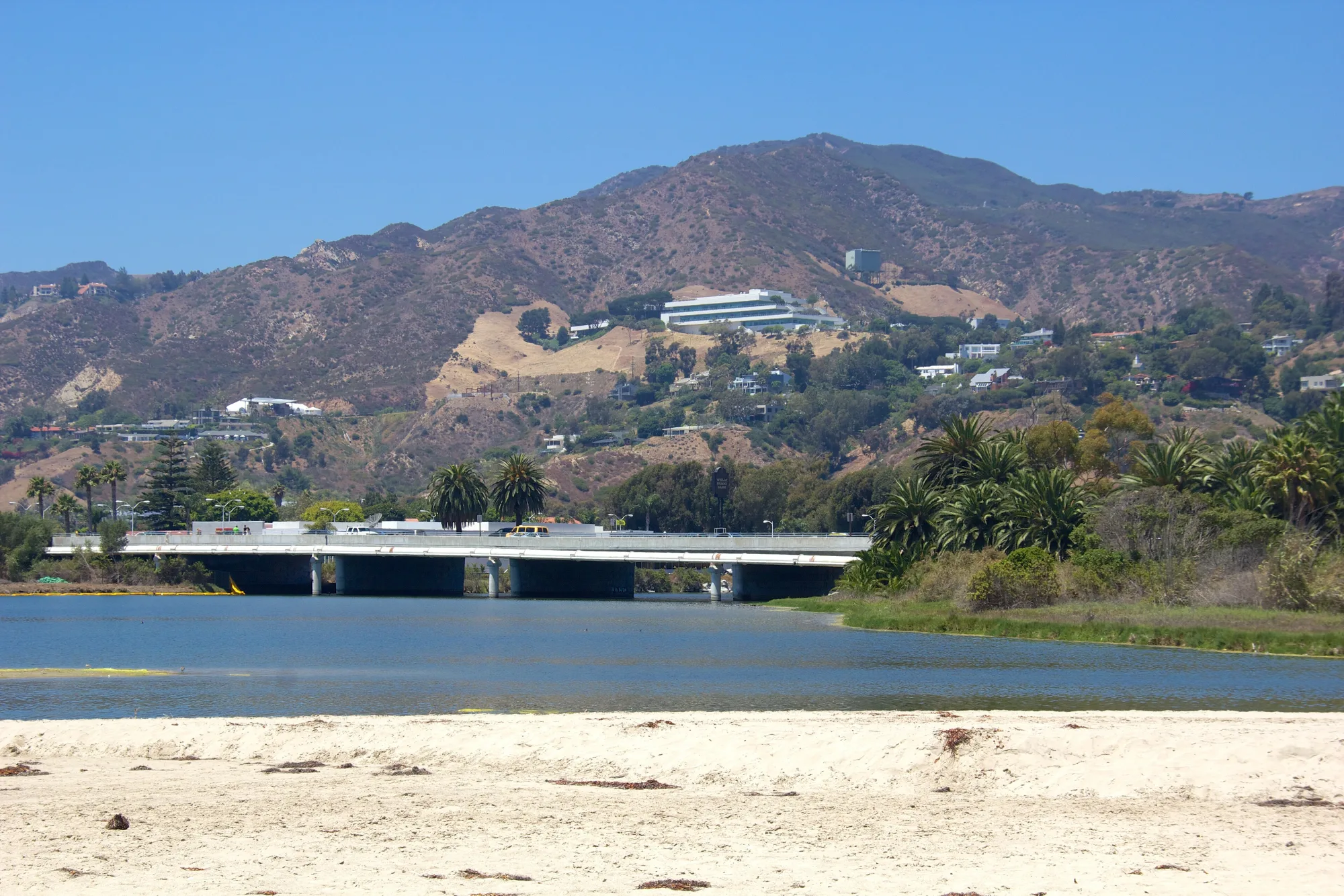

Photo: Wikimedia Commons / JCS