
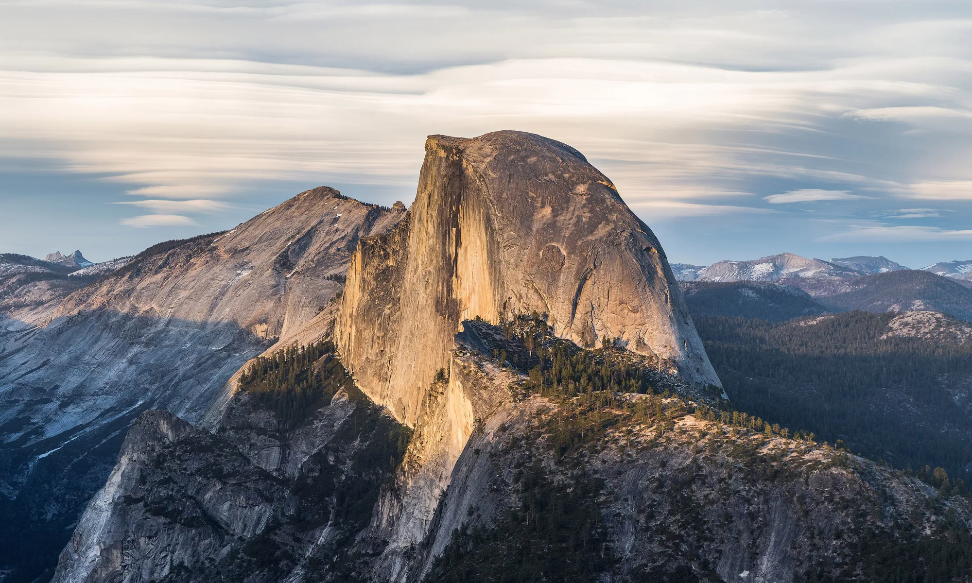
Mammoth Lakes
Eastern Sierra resort town at 7,800 feet—Mammoth Mountain skiing, summer alpine lakes, hot springs, and gateway drives toward Yosemite’s east side.
Interactive map loading… View on OpenStreetMap
37.6486, -118.9719 · OSM
- Type
- city
- Region
- High Sierra
- Season
- Best January, February, July
- Access
- Near MMH
About Mammoth Lakes
Eastern Sierra resort town at 7,800 feet—Mammoth Mountain skiing, summer alpine lakes, hot springs, and gateway drives toward Yosemite’s east side.
Long season and varied terrain—beginner zones to steeps above the village. Allow extra time for parking, reservations, and seasonal crowds typical of High Sierra destinations. Hexagonal basalt columns and Rainbow Falls hike—shuttle required in peak summer. Allow extra time for parking, reservations, and seasonal crowds typical of High Sierra destinations. Turquoise water beneath dramatic peaks—easy loop trail and boat rentals. Allow extra time for parking, reservations, and seasonal crowds typical of High Sierra destinations. Boiling springs and bubbling pools—stay behind fences; swimming banned due to sudden temperature changes. Allow extra time for parking, reservations, and seasonal crowds typical of High Sierra destinations.
Know before you go
- Altitude: 7,800+ feet—hydrate and ease into hikes.
- Winter chains: Caltrans controls on 395 and 203—carry chains even in AWD vehicles.
- Bear boxes: Mandatory food storage at many trailheads.
- Wildfire smoke: Sierra fires can affect summer air—monitor AQI.
- Gas: Fill in Bishop if driving north—town prices are higher.
- Forecast: Mountain weather shifts fast—use NWS on this page.
- Live weather: Use the National Weather Service forecast panel on this page before hikes, boating, or long coastal walks.
- Reservations: Popular restaurants, tastings, and tours often require advance booking on weekends and holidays.
How to get to Mammoth Lakes
Mammoth Lakes sits along U.S. 395 beneath Mammoth Mountain, with Mammoth Yosemite Airport (MMH) 10 minutes from town and Reno-Tahoe (RNO) about three hours north. Most winter visitors fly to MMH or drive from Los Angeles via 395 through Bishop. Summer road trips from the Bay Area cross Tioga Pass when open (typically late spring–fall).
- Fly MMH in winter Seasonal flights from LA and SF hubs—rent AWD if storms threaten; carry chains November–April.
- Drive 395 for scenic approaches From LA, allow 5–6 hours with stops; Bishop makes a lunch break.
- Use the free village shuttle in town Reduces parking pain at lifts and lakes—check seasonal schedules.
- Check Tioga Pass status for Yosemite east Closed most of winter—do not assume a shortcut to the valley.
Plan your visit
Best months
January, February, July, August
Typically the most comfortable months for weather and crowds.
Nearest airport
Mammoth Yosemite Airport (MMH)
About 15 minutes by car, depending on traffic.
Highlight
Skiing · Eastern Sierra · Hiking
Eastern Sierra resort town at 7,800 feet—Mammoth Mountain skiing, summer alpine lakes, hot springs, and gateway drives toward Yosemite’s east side.
Plan three to five nights for skiing or summer lake hopping. Weekend warriors from LA often do two ski days; hikers add Devils Postpile and June Lake loops.
Winter rhythm: First chair for powder, afternoon hot tub, Main Street breweries—storm days mean tree skiing and spa time.
Summer rhythm: Kayak Convict Lake, bike paved paths, ride the Scenic Gondola for views without skis.
Who it’s for: Skiers, mountain bikers, photographers chasing aspens, and families wanting a contained mountain village.
Budget tips: Book lodging early for Christmas and President’s Day; summer midweek campsites stretch budgets.
Season crossover: Shoulder weeks in late May and November can mean ski lifts spinning above hikers on lower trails—pack layers for 40-degree swings. Grocery runs to Bishop save money for multi-night condo stays. Book hot tub lodges before Christmas week when LA crowds arrive.
Practical pacing: Most visitors budget two full days for Mammoth Lakes—one for signature sights and one for a slower neighborhood or outdoor block without rushing between parking lots.
Regional context: Mammoth Lakes anchors High Sierra itineraries where skiing, eastern sierra, hiking, hot springs show up in everyday planning. Mammoth Yosemite Airport (MMH) is the primary gateway listed here—budget roughly 15 minutes by road before traffic and stops.
Seasonal window: January, February, July, August often balance comfortable weather with event calendars—still pack layers because microclimates and elevation swings are common across California.
Who it suits: Road-trippers linking nearby towns, weekenders from major metros, and travelers who want a local base rather than only marquee attractions an hour away.
Mammoth Lakes: FAQ
What is Mammoth Lakes known for?
Mammoth Mountain skiing, summer alpine lakes, Eastern Sierra access, and Devils Postpile hikes.
How far is Mammoth from Los Angeles?
About 325 miles—5–6 hours via 395 without long stops.
What airport serves Mammoth?
Mammoth Yosemite (MMH) seasonally; Reno (RNO) is a winter alternative with a long drive.
When does ski season run?
Often November–May depending on snow—check resort opening reports.
Can you visit Yosemite from Mammoth?
Yes via Tioga Pass when open—closed most winters; east entrance is different from valley crowds.
Is summer crowded?
July–August fills lakes and shuttles—book lodging and Devils Postpile permits early.
Do you need chains?
Often yes in winter storms on 395/203—carry them regardless of vehicle type when required.
Are dogs welcome?
Limited on national forest trails and monuments—check each area’s rules.
How many days do you need?
Three nights for a ski weekend; five for summer lakes plus Postpile.
What should visitors expect in Mammoth Lakes this fall?
September and October bring golden aspens, cooler hiking, and the first snow on high peaks. Ski shops prep early openings; Tioga Pass may close suddenly after storms. Book Devils Postpile shuttles if still operating and check the National Weather Service forecast on this page before high-elevation hikes.
More places near High Sierra

Nearest beaches

Photo: Wikimedia Commons