
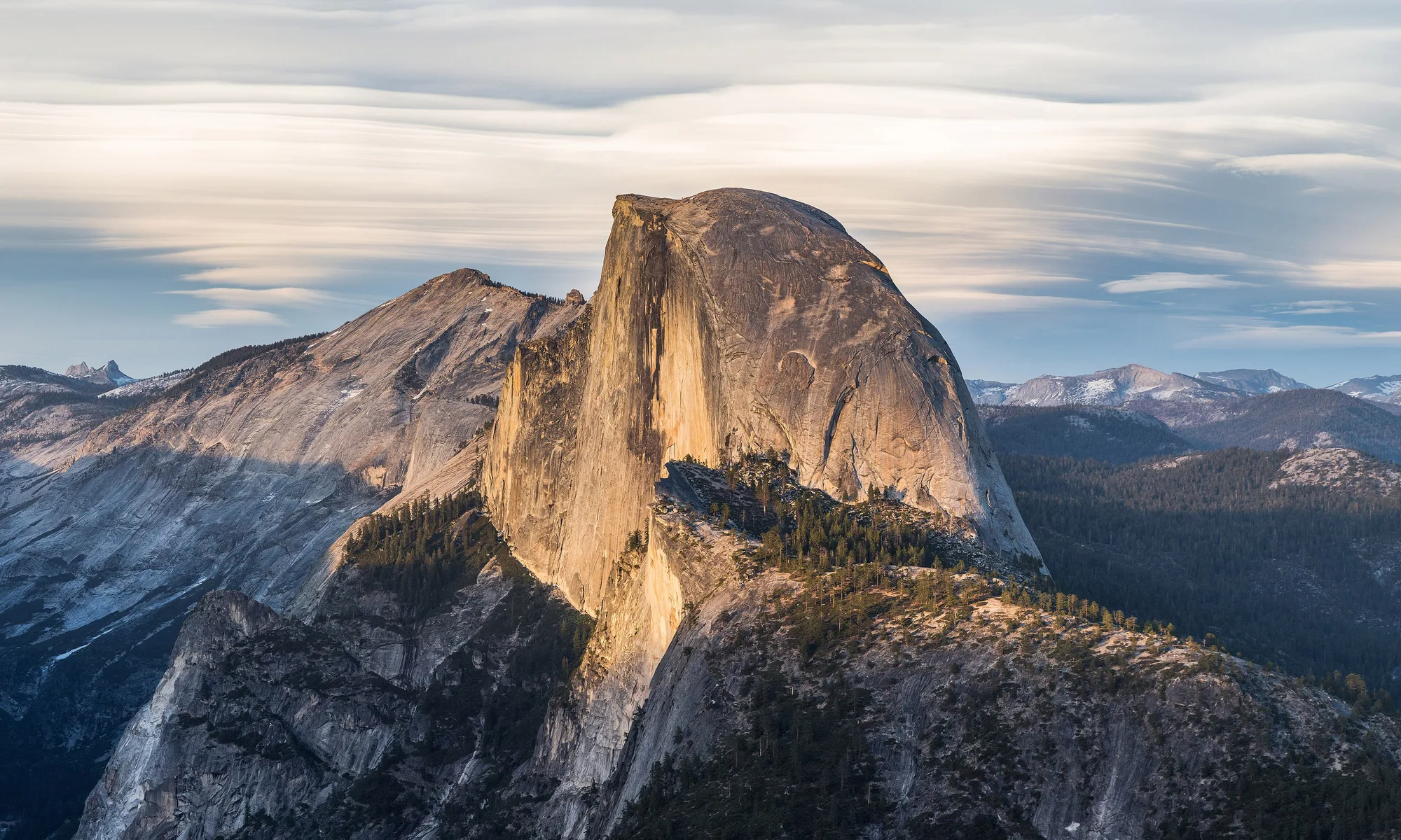
Merced
Central Valley city reborn around a walkable downtown—Yosemite gateway dining, university energy, and farm-country murals an hour from the park.
Interactive map loading… View on OpenStreetMap
37.3022, -120.4830 · OSM
- Type
- city
- Region
- Central Valley
- Season
- Best March, April, May
- Access
- Near FAT
About Merced
Central Valley city reborn around a walkable downtown—Yosemite gateway dining, university energy, and farm-country murals an hour from the park.
Colorful street art and a retro theater with beer-wall pours and live events. Wear comfortable shoes and bring water for longer walks or tastings. Sleep valley-adjacent budgets and depart before sunrise for iconic hikes. Wear comfortable shoes and bring water for longer walks or tastings. Modern architecture and walking paths on the city’s east side. Wear comfortable shoes and bring water for longer walks or tastings. Family-friendly green space and small zoo exhibits. Wear comfortable shoes and bring water for longer walks or tastings.
Know before you go
- Summer heat: Valley afternoons exceed 100°F (38°C)—schedule walks for morning.
- Yosemite reservations: Peak-season entry rules change—verify NPS requirements before you drive east.
- Air quality: Agricultural dust and wildfire smoke affect sensitive travelers in late summer.
- Transit limits: YARTS runs seasonally—do not assume year-round bus access to the valley.
- Crime awareness: Use normal urban precautions downtown at night.
- Water: Carry bottles on mural walks—shade is limited on hot afternoons.
- Forecasts: Use the National Weather Service panel on this place page before outdoor plans—conditions change quickly.
How to get to Merced
Merced sits on Highway 99 about 50 miles north of Fresno and roughly two hours west of Yosemite Valley. Fresno Yosemite International (FAT) is the listed airport; Bay Area travelers often drive via Interstate 5 or 99.
Rideshare and transit options vary—most itineraries still assume a rental car or personal vehicle for trailheads, wineries, and harbor launches. Download offline maps before areas with weak cell service.
- Fly into FAT or drive from the Bay Yosemite-bound visitors use Merced for cheaper lodging than mountain gateways.
- Park downtown near Main Street Revitalized blocks host breweries, the Mainzer theater, and mural walks.
- Use YARTS for Yosemite day trips Seasonal bus service links the valley to Merced—reserve when operating.
- Stock up before park days Groceries and fuel are plentiful—fill coolers before climbing to the high country.
Plan your visit
Best months
March, April, May, September
Typically the most comfortable months for weather and crowds.
Nearest airport
Fresno Yosemite International Airport (FAT)
About 82 minutes by car, depending on traffic.
Highlight
Central Valley · Yosemite gateway · UC Merced
Central Valley city reborn around a walkable downtown—Yosemite gateway dining, university energy, and farm-country murals an hour from the park.
Plan one night before Yosemite for downtown dinner and supply runs, or a weekend exploring UC Merced campus paths, local breweries, and San Luis Reservoir side trips.
Yosemite rhythm: Treat Merced as an affordable base—start park days before dawn to beat gate lines.
Downtown rhythm: Murals, live music at the Mainzer, and hotel cocktail bars attract locals and travelers alike.
Who it’s for: Budget Yosemite visitors, Central Valley food explorers, and families breaking long drives on Highway 99.
Budget tips: Chain motels cluster near freeways; downtown hotels suit walkable evenings.
Pacing tip: California microclimates change mile by mile—carry layers, sunscreen, and water even on short outings. Build buffer for coastal fog burn-off, valley heat, or mountain wind chill so you are not racing between stops. Evening temperatures often drop faster than inland visitors expect; a light jacket helps pier walks, patio dinners, and bluff sunsets.
Merced: FAQ
Is Merced a good base for Yosemite?
Yes for budget lodging—expect a 2–3 hour drive to Yosemite Valley depending on traffic. Hours and access can shift seasonally—confirm details the week you travel.
What is Merced known for?
Agriculture, UC Merced, and revitalized downtown dining near Yosemite routes. Hours and access can shift seasonally—confirm details the week you travel.
What airport serves Merced?
Fresno Yosemite International (FAT) is closest major commercial airport. Hours and access can shift seasonally—confirm details the week you travel.
How many days do you need?
One night before the park; two if exploring local food and reservoirs. Hours and access can shift seasonally—confirm details the week you travel.
When is the best time to visit?
Spring and fall for milder valley weather; summer is hot but fine for early departures to Yosemite. Hours and access can shift seasonally—confirm details the week you travel.
Is downtown Merced walkable?
Yes—core blocks are compact with murals and restaurants. Hours and access can shift seasonally—confirm details the week you travel.
Does YARTS run to Yosemite?
Seasonal service—check current schedules on the transit agency website. Hours and access can shift seasonally—confirm details the week you travel.
Is Merced family-friendly?
Parks, zoo, and pool days suit kids; Yosemite trips need more planning. Hours and access can shift seasonally—confirm details the week you travel.
What should visitors expect in Merced this fall?
September still runs hot in the valley—start Yosemite drives before dawn and save downtown dining for evening. Wildfire smoke can drift into Merced from Sierra fires; monitor AQI and the National Weather Service forecast on this page before outdoor mural walks. Midweek visits often mean easier parking and shorter lines at popular trailheads, tasting rooms, and harbor ticket windows.
More places near Central Valley

Nearest beaches

Photo: Wikimedia Commons