

Mt. Shasta
Fourteen-thousand-foot volcano country—ski mountaineering, alpine meadows, spiritual seekers, and John Muir–grade summit views in Siskiyou County.
Interactive map loading… View on OpenStreetMap
41.3099, -122.3106 · OSM
- Type
- city
- Region
- Shasta Cascade
- Season
- Best June, July, August
- Access
- Near RDD
About Mt. Shasta
Fourteen-thousand-foot volcano country—ski mountaineering, alpine meadows, spiritual seekers, and John Muir–grade summit views in Siskiyou County.
Scenic drive to Bunny Flat and high trailheads when open. Wear comfortable shoes and bring water for longer walks or tastings. Spring corn snow draws experienced backcountry skiers—guides recommended. Wear comfortable shoes and bring water for longer walks or tastings. Cool-off hikes in forested canyons east of the volcano. Wear comfortable shoes and bring water for longer walks or tastings. Gear shops, cafes, and lodging at the primary I-5 gateway. Wear comfortable shoes and bring water for longer walks or tastings.
Know before you go
- Altitude: Acclimatize before high camps—headaches signal you should descend.
- Permits: Wilderness permits required for many climbs and overnight trips—reserve early.
- Weather: Storms arrive fast—turn back if clouds build on exposed ridges.
- Glaciers: Crevasses exist on standard routes—ropes and training are mandatory for most parties.
- Fire restrictions: Campfire bans common in late summer—use camp stoves only.
- Respect: Sacred sites near the mountain deserve quiet, lawful visitation.
- Forecasts: Use the National Weather Service panel on this place page before outdoor plans—conditions change quickly.
How to get to Mt. Shasta
The Mt. Shasta area centers on the volcano visible from towns such as Mt. Shasta City and McCloud along I-5 in far Northern California. Redding (RDD) and Arcata (ACV) are regional airports; drives from Portland or Sacramento often take five to six hours.
Rideshare and transit options vary—most itineraries still assume a rental car or personal vehicle for trailheads, wineries, and harbor launches. Download offline maps before areas with weak cell service.
- Use I-5 exits for Mt. Shasta City Everitt Memorial Highway climbs toward Bunny Flat trailheads—check winter closure gates.
- Consult guide services for summit attempts Glaciers and altitude make the peak serious—hire certified guides unless experienced.
- Carry chains November–April Caltrans chain controls are routine after storms on mountain highways.
- Fuel in town before forest roads Gas stations thin out on remote Shasta flanks—fill up at city exits.
Plan your visit
Best months
June, July, August, September
Typically the most comfortable months for weather and crowds.
Nearest airport
Redding Municipal Airport (RDD)
About 82 minutes by car, depending on traffic.
Highlight
Mountains · Outdoor · Road trips
Fourteen-thousand-foot volcano country—ski mountaineering, alpine meadows, spiritual seekers, and John Muir–grade summit views in Siskiyou County.
Plan three to five days if summiting or ski-mountaineering; two nights suffice for meadow hikes, waterfall drives, and spiritual-site visits around the base.
Mountain rhythm: Snow lingers late on upper slopes; July–September windows dominate casual hiking plans.
Spiritual rhythm: The peak draws pilgrims and wellness retreats—respect private property near vortex sites.
Who it’s for: Climbers, backcountry skiers, photographers, and travelers chasing one of California’s most dramatic silhouettes.
Budget tips: Camp at forest campgrounds; guide fees dominate summit budgets.
Pacing tip: California microclimates change mile by mile—carry layers, sunscreen, and water even on short outings. Build buffer for coastal fog burn-off, valley heat, or mountain wind chill so you are not racing between stops. Evening temperatures often drop faster than inland visitors expect; a light jacket helps pier walks, patio dinners, and bluff sunsets.
Mt. Shasta: FAQ
How tall is Mt. Shasta?
About 14,179 feet—one of the highest peaks in the Cascades. Hours and access can shift seasonally—confirm details the week you travel.
Can beginners climb Mt. Shasta?
Summit routes are not beginner hikes—use guides or stick to lower trails. Hours and access can shift seasonally—confirm details the week you travel.
When is the best time to climb?
Late spring through early summer for most ski-mountaineering descents; conditions vary yearly. Hours and access can shift seasonally—confirm details the week you travel.
What airport is closest?
Redding (RDD) is the nearest regional airport. Hours and access can shift seasonally—confirm details the week you travel.
Is Mt. Shasta spiritual?
Many traditions consider it sacred—visit respectfully and follow land rules. Hours and access can shift seasonally—confirm details the week you travel.
How far from Portland?
Roughly 6 hours south on I-5 depending on stops. Hours and access can shift seasonally—confirm details the week you travel.
Do you need permits?
Yes for wilderness camping and many climbs—check USDA Forest Service rules. Hours and access can shift seasonally—confirm details the week you travel.
Where to stay?
Mt. Shasta City, McCloud, and forest campgrounds ring the mountain. Hours and access can shift seasonally—confirm details the week you travel.
What should visitors expect in Mt. Shasta this fall?
Early fall can still offer clear summit views from lower trails before first snows close high gates. Nights turn cold quickly—pack insulation for Bunny Flat hikes. Monitor the National Weather Service forecast on this page before any high-elevation outing. Midweek visits often mean easier parking and shorter lines at popular trailheads, tasting rooms, and harbor ticket windows.
More places near Shasta Cascade

Nearest beaches


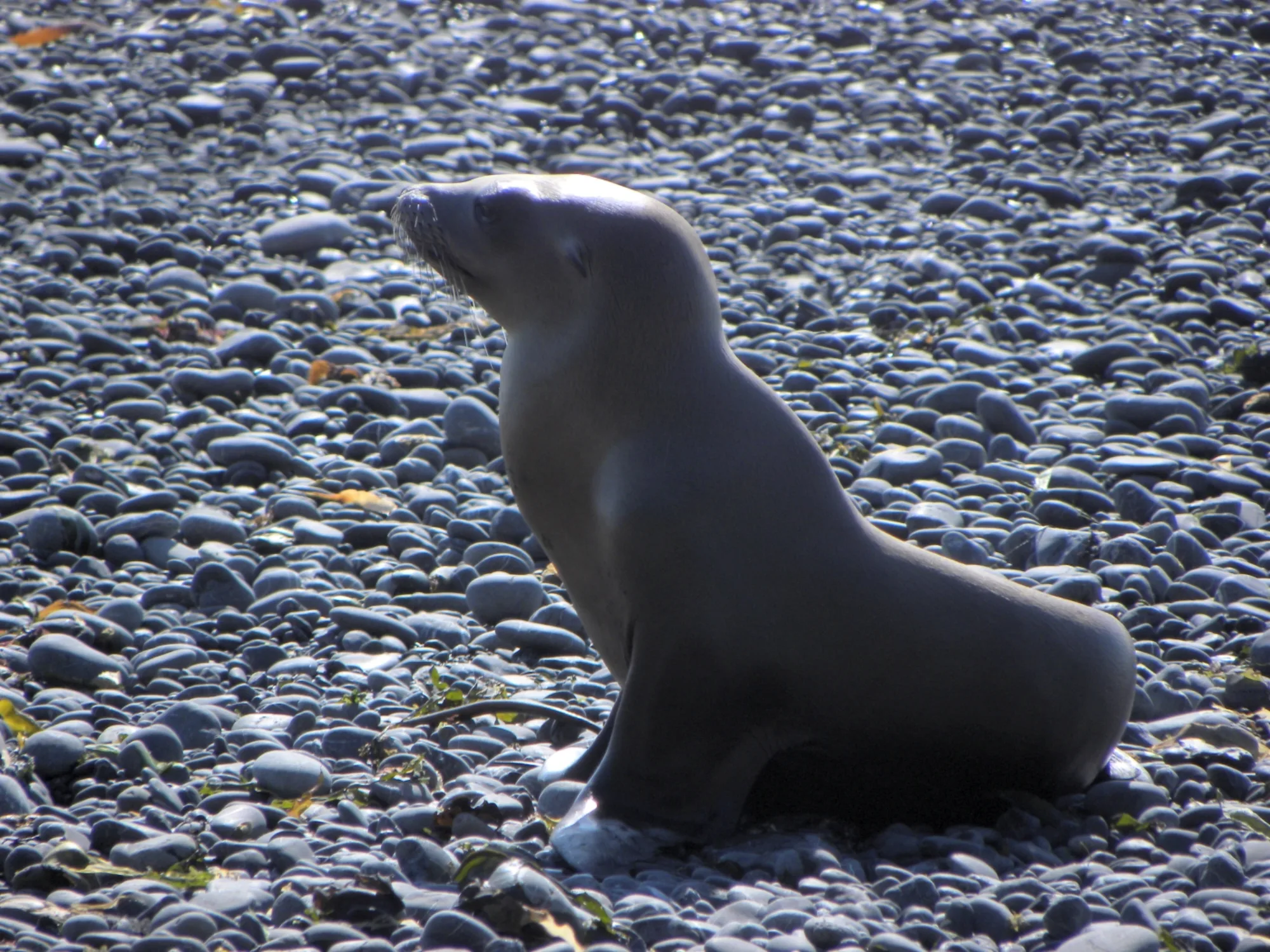


Photo: Wikimedia Commons