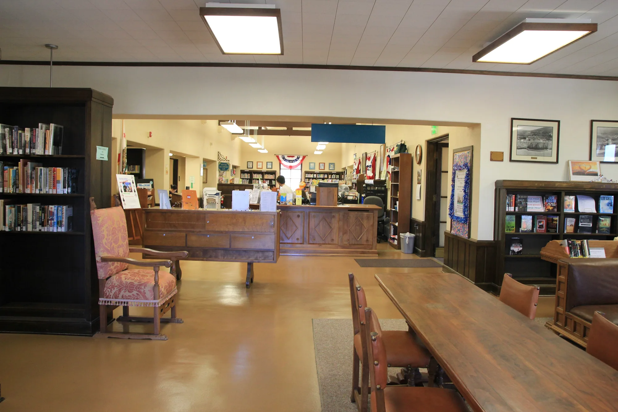

Central Coast is one of California’s core travel regions—use it to cluster lodging, day trips, and weather expectations before you stitch a statewide itinerary.
Why plan around Central Coast
Highway 1 drama from Big Sur to Santa Barbara with mid-coast harbor towns. Treating Central Coast as a planning unit keeps drives realistic: most visitors enjoy the region more when they pick one primary base and one secondary outing instead of crossing the entire state in a single day.
Gateway towns such as Monterey, Carmel, San Luis Obispo, plus Morro Bay, Santa Barbara give you services, evening options, and easy access to state beaches, pier towns, channel views, and oak-covered inland valleys.
How to structure a visit
Start with your season and travel party, then choose a primary overnight base near the experiences that matter most. California trips stall when every hour is ticketed—leave white space for fog, parking, and spontaneous neighborhoods.
- Confirm park, road, and air-quality alerts the morning you depart.
- Budget parking or rideshare separately from attraction tickets.
- Keep one flexible meal block so wait times do not derail the day.
- Download offline maps before rural or canyon stretches.
Seasons and weather reality
May gray / June gloom is real on the coast; fall often brings clearer mornings. Always check Highway 1 status around Big Sur.
Pack layers even in warm months—microclimates shift quickly between coast, valley, and elevation. Wildfire smoke and winter storms can close roads; always keep an indoor or alternate-region backup.
Getting around
CA-1 is scenic but slow—overnight mid-route. US-101 is the inland express alternative when the coast is closed or fogged in.
If you only have a short window, protect transit time on both sides of your headline stop. Longer trips can sequence two related experiences with a scenic transfer instead of a freeway-only hop.
Outdoor and nature focus
Signature outdoor time in Central Coast centers on state beaches, pier towns, channel views, and oak-covered inland valleys. Match energy levels: pair an active morning with a café or shoreline buffer. Watch accessibility details such as stairs, sand, shuttle gaps, and stroller rules.
Where to go next
Continue with TripCali place and trip pages that sit inside or beside Central Coast:
Also browse the statewide Places To Visit, California road trips, and Things To Do hubs when you are ready to connect regions.
TripCali publishes independent travel guidance. Details here are planning notes—always confirm hours, prices, accessibility, and safety conditions with official operators before you go.
People also ask
What is the Central Coast region known for?
Highway 1 drama from Big Sur to Santa Barbara with mid-coast harbor towns. Use towns like Monterey, Carmel, San Luis Obispo as practical overnight bases while you explore the surrounding outdoors and day trips.
How many days do I need in Central Coast?
Most travelers enjoy two to four focused days in one region before moving on. A single overnight works for a sampler; a week lets you slow down without freeway fatigue.
Do I need a car in Central Coast?
Urban cores may support transit for a day, but most regional itineraries still need a car or tour transfer for parks, beaches, and scenic corridors. Confirm last trains or ferry times before night drives.
When is the best time to visit Central Coast?
May gray / June gloom is real on the coast; fall often brings clearer mornings. Always check Highway 1 status around Big Sur.
What should I pack for Central Coast?
Layers for California microclimates, reusable water, sunscreen, offline maps, and any park or timed-entry reservations. Comfortable shoes matter more than formal outfits for most stops.
Photo: Wikimedia Commons