
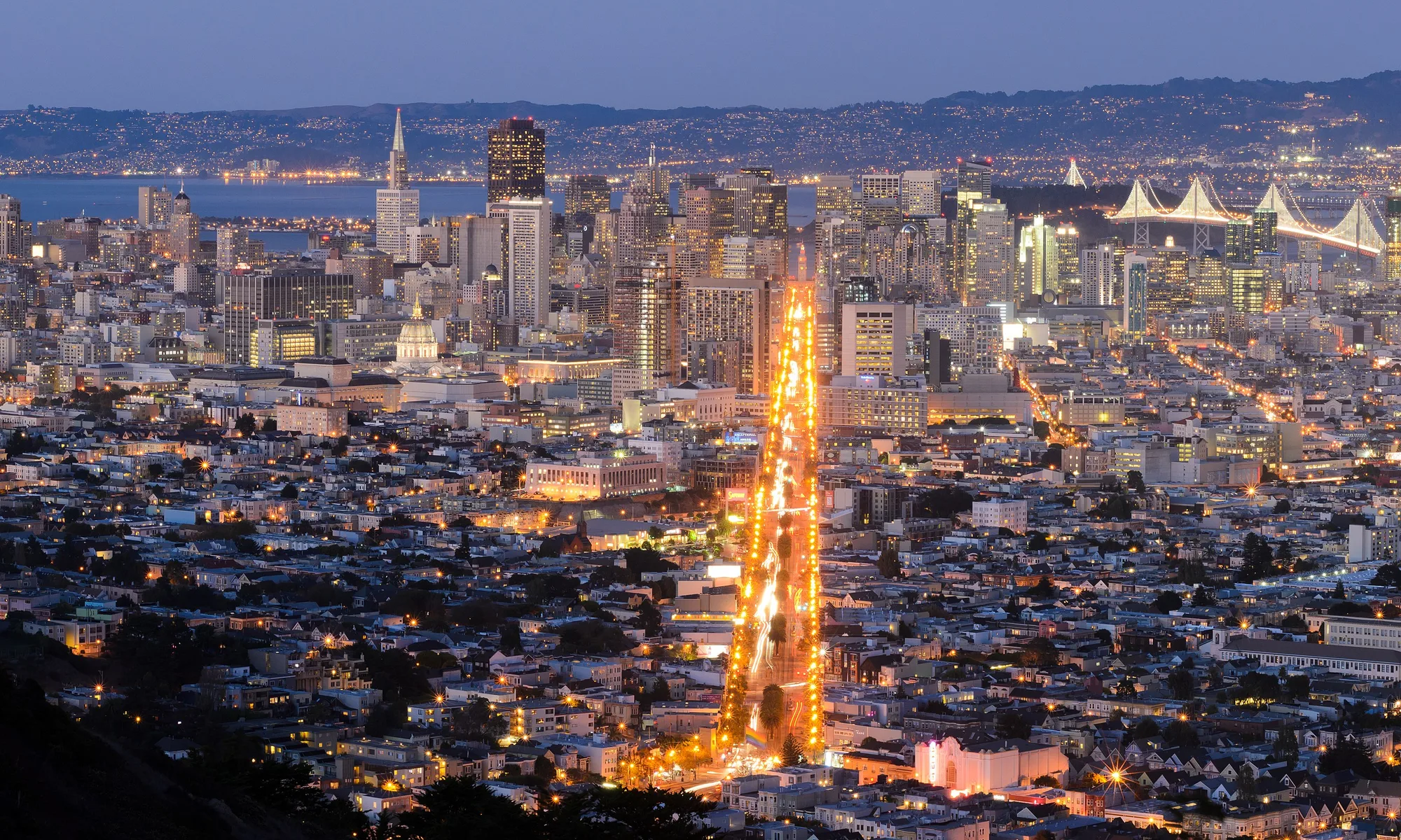
Benicia
Benicia liegt an der Küste in San Francisco Bay Area: Strand, lokales Essen und Tagesausflüge bestimmen den Rhythmus.
Interactive map loading… View on OpenStreetMap
38.0494, -122.1586 · OSM
- Art
- city
- Region
- San Francisco Bay Area
- Saison
- Best April, Mai, September
- Zugang
- Near OAK
Über Benicia
Benicia liegt an der Küste in San Francisco Bay Area: Strand, lokales Essen und Tagesausflüge bestimmen den Rhythmus.
Shops, dining, and pier strolls with Carquinez Strait ship traffic as backdrop. Allow extra time for parking, reservations, and seasonal crowds typical of San Francisco Bay Area destinations. Bay-edge trails, native gardens, and Dillon’s Point bird habitat—ideal for cyclists. Allow extra time for parking, reservations, and seasonal crowds typical of San Francisco Bay Area destinations. 1850s capitol building where California government briefly met—guided context for history fans. Allow extra time for parking, reservations, and seasonal crowds typical of San Francisco Bay Area destinations. Converted military warehouses host studios and events—check open-studio weekends. Allow extra time for parking, reservations, and seasonal crowds typical of San Francisco Bay Area destinations.
Gut zu wissen
- Wetter: In San Francisco Bay Area kann sich das Wetter schnell ändern — Schichtkleidung mitnehmen.
- Parken: Beliebte Bereiche füllen sich an sonnigen Wochenenden früh.
Anreise nach Benicia
Benicia liegt in San Francisco Bay Area. Die meisten Gäste kommen mit dem Auto; Oakland International Airport (OAK) ist ein üblicher Flughafen-Zugang.
- Drive I-680 or I-780 Benicia sits between Vallejo bridges and Martinez refineries—traffic peaks at commute hours.
- Ride Capitol Corridor trains Connect Oakland or Sacramento to Benicia–Vallejo area stations, then taxi or bus to the waterfront.
- Walk First Street & marina Shops, galleries, and pier views cluster along the strait—sunset light hits the hills across the water.
- Cycle the Carquinez Strait loop Road cyclists link Benicia with regional bridge trails—confirm current path openings before you ride.
Besuch planen
Beste Monate
April, Mai, September, Oktober
Typically the most comfortable months for weather and crowds.
Nächster Flughafen
Oakland International Airport (OAK)
About 37 minutes by car, depending on traffic.
Highlight
Bay Area · Waterfront · History
Benicia liegt an der Küste in San Francisco Bay Area: Strand, lokales Essen und Tagesausflüge bestimmen den Rhythmus.
Planen Sie ein bis zwei volle Tage für die Highlights von Benicia. Beste Zeit: April, Mai, September, Oktober.
Benicia: FAQ
Wie viele Tage braucht man in Benicia?
Ein voller Tag deckt das Wesentliche ab. Zwei Tage sind besser für ruhige Mahlzeiten und einen Ausflug in die Umgebung.
Welcher Flughafen liegt am nächsten bei Benicia?
Oakland International Airport (OAK) gehört zu den praktischsten Optionen — oft etwa 37 Minuten mit dem Auto.
Braucht man in Benicia ein Auto?
Ein Auto ist am flexibelsten, vor allem für Aussichtspunkte und Nachbarorte. Im kompakten Zentrum reichen manchmal Rideshares.
Wann ist die beste Reisezeit für Benicia?
Frühling und Herbst sind in San Francisco Bay Area oft angenehm; Feiertagswochenenden sind voller.
Eignet sich Benicia für ein Wochenende?
Ja — als Freitag-bis-Sonntag-Basis, wenn Sie realistische Fahrzeiten einplanen und früh buchen.
In welcher Region liegt Benicia?
Benicia wird für die Planung meist San Francisco Bay Area zugeordnet.
Weitere Orte in der Nähe von San Francisco Bay Area


Nearest beaches




Foto: Wikimedia Commons