
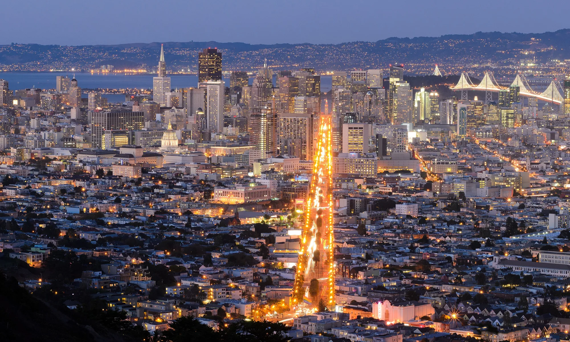
Benicia
Benicia è una tappa costiera di San Francisco Bay Area: spiaggia, cibo locale ed escursioni giornaliere.
Interactive map loading… View on OpenStreetMap
38.0494, -122.1586 · OSM
- Tipo
- city
- Regione
- San Francisco Bay Area
- Stagione
- Best aprile, maggio, settembre
- Accesso
- Near OAK
Informazioni su Benicia
Benicia è una tappa costiera di San Francisco Bay Area: spiaggia, cibo locale ed escursioni giornaliere.
Shops, dining, and pier strolls with Carquinez Strait ship traffic as backdrop. Allow extra time for parking, reservations, and seasonal crowds typical of San Francisco Bay Area destinations. Bay-edge trails, native gardens, and Dillon’s Point bird habitat—ideal for cyclists. Allow extra time for parking, reservations, and seasonal crowds typical of San Francisco Bay Area destinations. 1850s capitol building where California government briefly met—guided context for history fans. Allow extra time for parking, reservations, and seasonal crowds typical of San Francisco Bay Area destinations. Converted military warehouses host studios and events—check open-studio weekends. Allow extra time for parking, reservations, and seasonal crowds typical of San Francisco Bay Area destinations.
Prima di partire
- Meteo: In San Francisco Bay Area il tempo cambia in fretta — portate strati.
- Parcheggio: Le zone popolari si riempiono presto nel weekend.
Come arrivare a Benicia
Benicia si trova in San Francisco Bay Area. La maggior parte dei visitatori arriva in auto; Oakland International Airport (OAK) è un aeroporto di accesso comune.
- Drive I-680 or I-780 Benicia sits between Vallejo bridges and Martinez refineries—traffic peaks at commute hours.
- Ride Capitol Corridor trains Connect Oakland or Sacramento to Benicia–Vallejo area stations, then taxi or bus to the waterfront.
- Walk First Street & marina Shops, galleries, and pier views cluster along the strait—sunset light hits the hills across the water.
- Cycle the Carquinez Strait loop Road cyclists link Benicia with regional bridge trails—confirm current path openings before you ride.
Organizza la visita
Mesi migliori
aprile, maggio, settembre, ottobre
Typically the most comfortable months for weather and crowds.
Aeroporto più vicino
Oakland International Airport (OAK)
About 37 minutes by car, depending on traffic.
In evidenza
Bay Area · Waterfront · History
Benicia è una tappa costiera di San Francisco Bay Area: spiaggia, cibo locale ed escursioni giornaliere.
Pianificate uno o due giorni interi per i punti salienti di Benicia. Periodo migliore: aprile, maggio, settembre, ottobre.
Benicia: FAQ
Quanti giorni servono a Benicia?
Un giorno intero copre l’essenziale. Due giorni permettono un ritmo più rilassato e un’escursione vicina.
Qual è l’aeroporto più vicino a Benicia?
Oakland International Airport (OAK) è tra le opzioni più pratiche — spesso circa 37 minuti in auto.
Serve l’auto a Benicia?
L’auto è l’opzione più flessibile, soprattutto per belvedere e paesi vicini.
Qual è il periodo migliore per visitare Benicia?
Primavera e autunno sono spesso piacevoli in San Francisco Bay Area; i weekend festivi sono più affollati.
Benicia va bene per un weekend?
Sì — come base da venerdì a domenica se tenete tragitti realistici e prenotate presto.
In quale regione si trova Benicia?
Benicia è in genere associata a San Francisco Bay Area per la pianificazione del viaggio.
Altri luoghi vicino a San Francisco Bay Area


Nearest beaches




Foto: Wikimedia Commons