

Big Sur
Big Sur liegt an der Küste in Central Coast: Strand, lokales Essen und Tagesausflüge bestimmen den Rhythmus.
Interactive map loading… View on OpenStreetMap
36.2704, -121.8081 · OSM
- Art
- area
- Region
- Central Coast
- Saison
- Best April, Mai, Juni
- Zugang
- Near MRY
Über Big Sur
Big Sur liegt an der Küste in Central Coast: Strand, lokales Essen und Tagesausflüge bestimmen den Rhythmus.
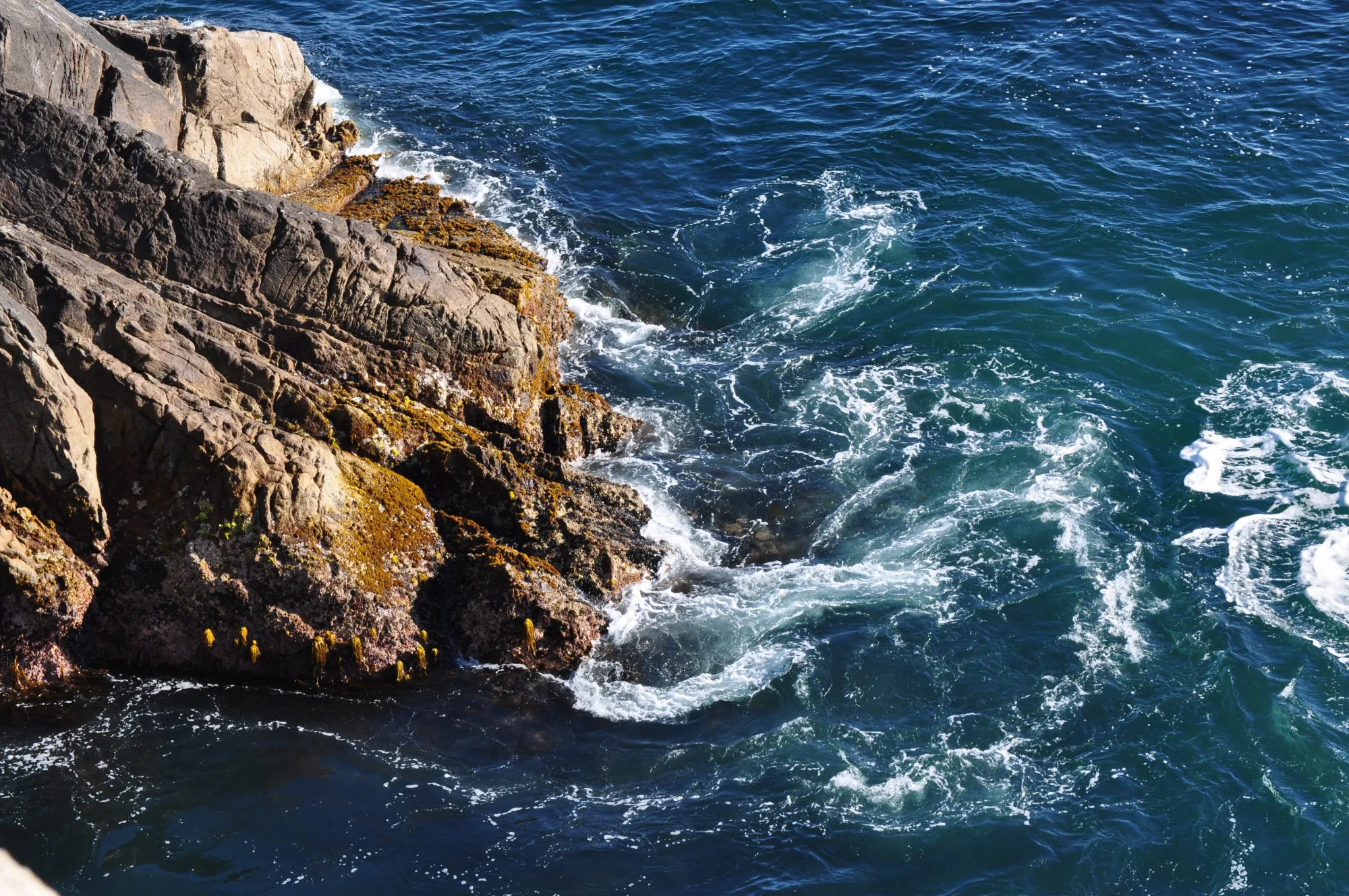
The iconic arch south of Carmel—pull over safely for photos, then continue for quieter cliffs beyond the crowds. Redwood trails, river access, and a classic inland campground base along the Big Sur River. Allow extra time for parking, reservations, and seasonal crowds typical of Central Coast destinations. A short walk to an overlook of the waterfall spilling onto a cove—one of California’s most photographed coastal scenes. The point of Big Sur: unhurried miles of ocean cliffs, pullouts, and fog breaking over the Santa Lucias.
Gut zu wissen
- Wetter: In Central Coast kann sich das Wetter schnell ändern — Schichtkleidung mitnehmen.
- Parken: Beliebte Bereiche füllen sich an sonnigen Wochenenden früh.
Anreise nach Big Sur
Big Sur liegt in Central Coast. Die meisten Gäste kommen mit dem Auto; Monterey Regional Airport (MRY) ist ein üblicher Flughafen-Zugang.
- Fly into Monterey Regional (MRY) MRY is the closest practical airport. Budget roughly 45–90 minutes to reach central Big Sur landmarks (Bixby Bridge, Pfeiffer Big Sur State Park) depending on traffic, fog, and where you stop—Highway 1 is slow by design.
- Or fly into SFO and drive south San Francisco International offers more flights. Plan a half-day drive via Highway 101 to Monterey then Highway 1, or the full coastal route when time and weather allow. Overnight in Monterey or Carmel if you land late.
- Check Highway 1 status before you go Landslides, construction, and winter storms can close segments of the Big Sur coast for days or months. Confirm Caltrans conditions and have an alternate overnight plan north or south of any closure.
- Fuel up and pack supplies Gas, groceries, and cell service are sparse along the cliffs. Fill the tank in Carmel, Monterey, or Cambria and carry water, layers, and cash for state-park day-use fees.
Besuch planen
Beste Monate
April, Mai, Juni, September
Typically the most comfortable months for weather and crowds.
Nächster Flughafen
Monterey Regional Airport (MRY)
About 45 minutes by car, depending on traffic.
Highlight
Scenic drives · Highway 1 · Hiking
Big Sur liegt an der Küste in Central Coast: Strand, lokales Essen und Tagesausflüge bestimmen den Rhythmus.
Planen Sie ein bis zwei volle Tage für die Highlights von Big Sur. Beste Zeit: April, Mai, Juni, September.
Big Sur: FAQ
Wie viele Tage braucht man in Big Sur?
Ein voller Tag deckt das Wesentliche ab. Zwei Tage sind besser für ruhige Mahlzeiten und einen Ausflug in die Umgebung.
Welcher Flughafen liegt am nächsten bei Big Sur?
Monterey Regional Airport (MRY) gehört zu den praktischsten Optionen — oft etwa 45 Minuten mit dem Auto.
Braucht man in Big Sur ein Auto?
Ein Auto ist am flexibelsten, vor allem für Aussichtspunkte und Nachbarorte. Im kompakten Zentrum reichen manchmal Rideshares.
Wann ist die beste Reisezeit für Big Sur?
Frühling und Herbst sind in Central Coast oft angenehm; Feiertagswochenenden sind voller.
Eignet sich Big Sur für ein Wochenende?
Ja — als Freitag-bis-Sonntag-Basis, wenn Sie realistische Fahrzeiten einplanen und früh buchen.
In welcher Region liegt Big Sur?
Big Sur wird für die Planung meist Central Coast zugeordnet.
Weitere Orte in der Nähe von Central Coast


Nearest beaches


Foto: Wikimedia Commons