

Big Sur
Big Sur è una tappa costiera di Central Coast: spiaggia, cibo locale ed escursioni giornaliere.
Interactive map loading… View on OpenStreetMap
36.2704, -121.8081 · OSM
- Tipo
- area
- Regione
- Central Coast
- Stagione
- Best aprile, maggio, giugno
- Accesso
- Near MRY
Informazioni su Big Sur
Big Sur è una tappa costiera di Central Coast: spiaggia, cibo locale ed escursioni giornaliere.
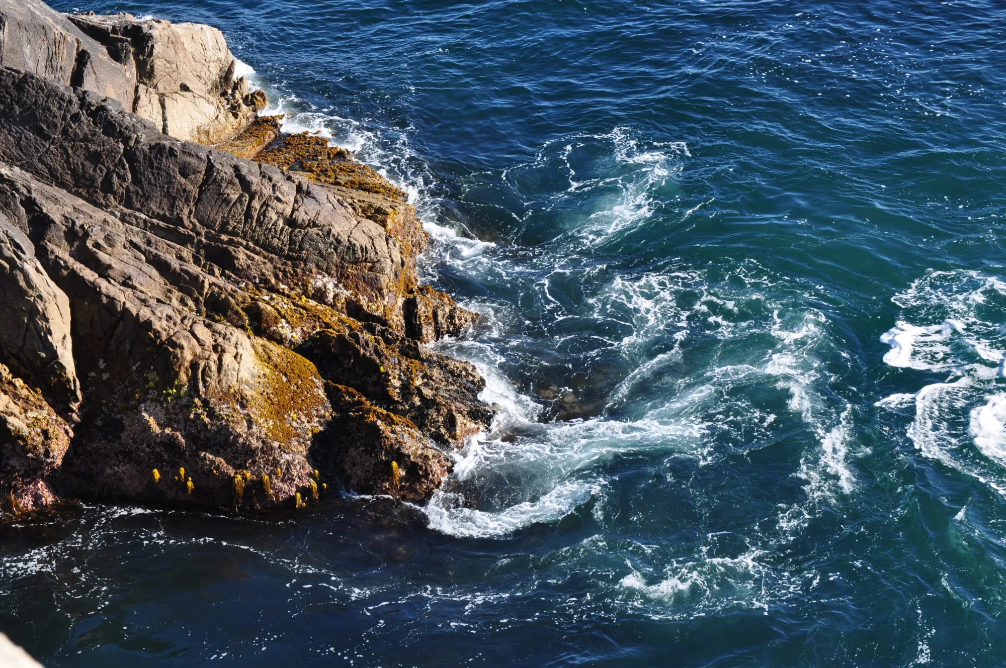
The iconic arch south of Carmel—pull over safely for photos, then continue for quieter cliffs beyond the crowds. Redwood trails, river access, and a classic inland campground base along the Big Sur River. Allow extra time for parking, reservations, and seasonal crowds typical of Central Coast destinations. A short walk to an overlook of the waterfall spilling onto a cove—one of California’s most photographed coastal scenes. The point of Big Sur: unhurried miles of ocean cliffs, pullouts, and fog breaking over the Santa Lucias.
Prima di partire
- Meteo: In Central Coast il tempo cambia in fretta — portate strati.
- Parcheggio: Le zone popolari si riempiono presto nel weekend.
Come arrivare a Big Sur
Big Sur si trova in Central Coast. La maggior parte dei visitatori arriva in auto; Monterey Regional Airport (MRY) è un aeroporto di accesso comune.
- Fly into Monterey Regional (MRY) MRY is the closest practical airport. Budget roughly 45–90 minutes to reach central Big Sur landmarks (Bixby Bridge, Pfeiffer Big Sur State Park) depending on traffic, fog, and where you stop—Highway 1 is slow by design.
- Or fly into SFO and drive south San Francisco International offers more flights. Plan a half-day drive via Highway 101 to Monterey then Highway 1, or the full coastal route when time and weather allow. Overnight in Monterey or Carmel if you land late.
- Check Highway 1 status before you go Landslides, construction, and winter storms can close segments of the Big Sur coast for days or months. Confirm Caltrans conditions and have an alternate overnight plan north or south of any closure.
- Fuel up and pack supplies Gas, groceries, and cell service are sparse along the cliffs. Fill the tank in Carmel, Monterey, or Cambria and carry water, layers, and cash for state-park day-use fees.
Organizza la visita
Mesi migliori
aprile, maggio, giugno, settembre
Typically the most comfortable months for weather and crowds.
Aeroporto più vicino
Monterey Regional Airport (MRY)
About 45 minutes by car, depending on traffic.
In evidenza
Scenic drives · Highway 1 · Hiking
Big Sur è una tappa costiera di Central Coast: spiaggia, cibo locale ed escursioni giornaliere.
Pianificate uno o due giorni interi per i punti salienti di Big Sur. Periodo migliore: aprile, maggio, giugno, settembre.
Big Sur: FAQ
Quanti giorni servono a Big Sur?
Un giorno intero copre l’essenziale. Due giorni permettono un ritmo più rilassato e un’escursione vicina.
Qual è l’aeroporto più vicino a Big Sur?
Monterey Regional Airport (MRY) è tra le opzioni più pratiche — spesso circa 45 minuti in auto.
Serve l’auto a Big Sur?
L’auto è l’opzione più flessibile, soprattutto per belvedere e paesi vicini.
Qual è il periodo migliore per visitare Big Sur?
Primavera e autunno sono spesso piacevoli in Central Coast; i weekend festivi sono più affollati.
Big Sur va bene per un weekend?
Sì — come base da venerdì a domenica se tenete tragitti realistici e prenotate presto.
In quale regione si trova Big Sur?
Big Sur è in genere associata a Central Coast per la pianificazione del viaggio.
Altri luoghi vicino a Central Coast


Nearest beaches


Foto: Wikimedia Commons