

Morro Bay
Morro Rock’s volcanic sentinel over a working harbor—sea otters, kayak estuary paddles, fresh seafood, and Central Coast Highway 1 charm.
Interactive map loading… View on OpenStreetMap
35.3659, -120.8500 · OSM
- Type
- city
- Region
- Central Coast
- Season
- Best May, June, September
- Access
- Near SBP
About Morro Bay
Morro Rock’s volcanic sentinel over a working harbor—sea otters, kayak estuary paddles, fresh seafood, and Central Coast Highway 1 charm.
Photograph the 576-foot monolith from harbor and state-park beaches—climbing is banned. Wear comfortable shoes and bring water for longer walks or tastings. Seafood shacks and sit-down grills face the working waterfront. Wear comfortable shoes and bring water for longer walks or tastings. Guided tours search for otters, seals, and migratory birds in calm water. Wear comfortable shoes and bring water for longer walks or tastings. Marina, museum, and trails on the bay’s south shore. Wear comfortable shoes and bring water for longer walks or tastings.
Know before you go
- Morro Rock: Sacred site and wildlife refuge—stay off the rock and obey rope lines.
- Fog: Marine layer cools summer afternoons—layer up for kayak trips.
- Dog rules: Beach and trail dog policies vary—read posted signs.
- Tides: Estuary paddling is easiest at high slack tide—ask outfitters for timing.
- Wind: Afternoon breezes pick up on the sand spit—secure hats and light gear.
- Holiday crowds: Labor Day and spring break weekends congest Embarcadero parking.
- Forecasts: Use the National Weather Service panel on this place page before outdoor plans—conditions change quickly.
How to get to Morro Bay
Morro Bay lies on Highway 1 about 15 minutes northwest of San Luis Obispo. San Luis Obispo County Airport (SBP) and Santa Barbara (SBA) serve fly-in travelers; most visitors road-trip the Central Coast between LA and San Francisco.
Rideshare and transit options vary—most itineraries still assume a rental car or personal vehicle for trailheads, wineries, and harbor launches. Download offline maps before areas with weak cell service.
- Fly into SBP Shortest hop to the Embarcadero—rent a car for Montana de Oro and wine-country detours.
- Park near the Embarcadero Harbor-front lots fill on sunny weekends—walk the waterfront once parked.
- Launch kayaks in the estuary Calm mornings suit beginners watching otters and harbor seals—outfitters rent tandem boats.
- Respect Morro Rock closures Climbing the rock is prohibited—view from beaches and harbor paths instead.
Plan your visit
Best months
May, June, September, October
Typically the most comfortable months for weather and crowds.
Nearest airport
San Luis Obispo County Regional Airport (SBP)
About 25 minutes by car, depending on traffic.
Highlight
Central Coast · Harbor · Wildlife
Morro Rock’s volcanic sentinel over a working harbor—sea otters, kayak estuary paddles, fresh seafood, and Central Coast Highway 1 charm.
Plan one to two nights for harbor seafood, estuary wildlife, and day trips to Montana de Oro or Paso Robles wine country inland.
Wildlife rhythm: Sea otters, herons, and winter bird counts draw naturalists—binoculars help from the sand spit.
Food rhythm: Fish and chips, oysters, and chowder windows line the Embarcadero—sunset tables fill fast on Saturdays.
Who it’s for: Families, photographers, kayakers, and Highway 1 travelers wanting authentic fishing-town character.
Budget tips: Free harbor walks balance paid kayak rentals; camp at Morro Bay State Park for ocean-view sites.
Pacing tip: California microclimates change mile by mile—carry layers, sunscreen, and water even on short outings. Build buffer for coastal fog burn-off, valley heat, or mountain wind chill so you are not racing between stops. Evening temperatures often drop faster than inland visitors expect; a light jacket helps pier walks, patio dinners, and bluff sunsets.
Morro Bay: FAQ
What is Morro Bay known for?
Morro Rock, sea otters, harbor seafood, and Central Coast scenery. Hours and access can shift seasonally—confirm details the week you travel.
Can you climb Morro Rock?
No—access is restricted to protect habitat and cultural resources. Hours and access can shift seasonally—confirm details the week you travel.
How far is Morro Bay from San Luis Obispo?
About 15 minutes on Highway 1. Hours and access can shift seasonally—confirm details the week you travel.
What airport is closest?
San Luis Obispo County Regional (SBP). Hours and access can shift seasonally—confirm details the week you travel.
How many days do you need?
One night for harbor and kayak; two adds Montana de Oro and wine country. Hours and access can shift seasonally—confirm details the week you travel.
When is the best time to visit?
Spring and fall for mild weather; summer fog is common mornings. Hours and access can shift seasonally—confirm details the week you travel.
Is Morro Bay good for kids?
Harbor walks, museum, and gentle kayaking suit families. Hours and access can shift seasonally—confirm details the week you travel.
Where do sea otters hang out?
Often near the Embarcadero and sand spit—bring binoculars. Hours and access can shift seasonally—confirm details the week you travel.
What should visitors expect in Morro Bay this fall?
September still brings mellow kayak mornings before afternoon wind on the estuary. Otter pups and migrating birds reward patient watchers—dress in layers for fog burn-off. Check the National Weather Service forecast on this page before boating. Midweek visits often mean easier parking and shorter lines at popular trailheads, tasting rooms, and harbor ticket windows.
More places near Central Coast

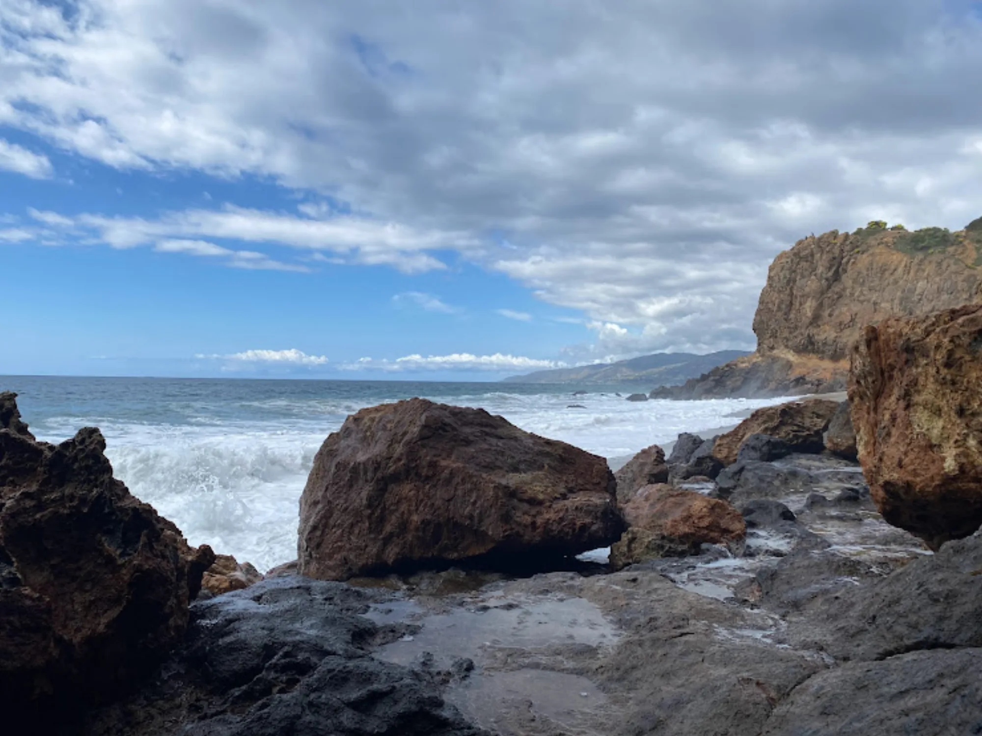




Nearest beaches
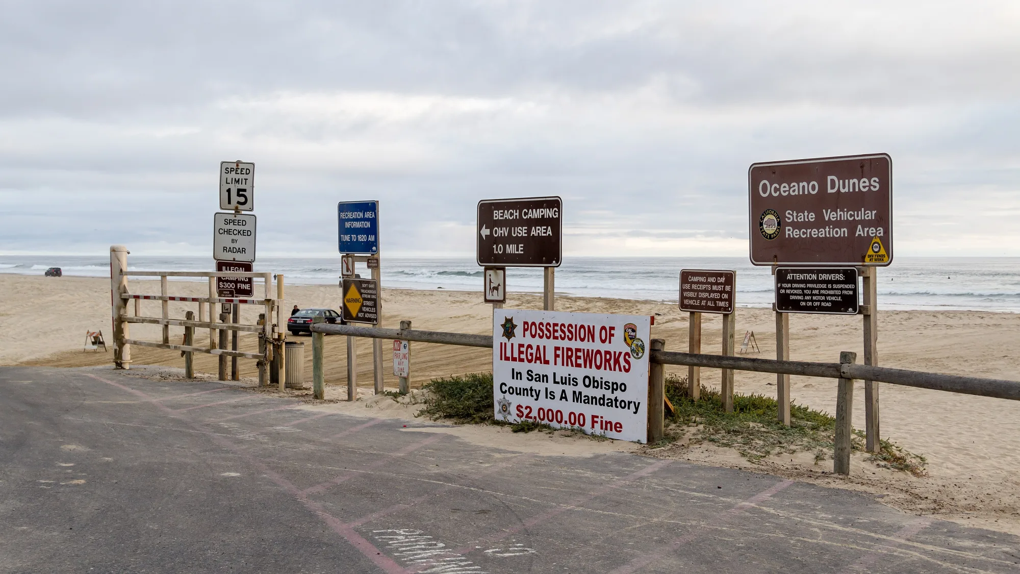


Photo: Wikimedia Commons / Derek Liang derekrliang